So we came across this hike-n-raft loop on the web that starts in McCarthy with hiking in to the headwaters of the Lakina River in the Wrangell-St. Elias National Park and rafting the Lakina River out to the road, then hitching a ride or biking back to McCarthy, AK. We read up on several
trip reports and watched the
Luc Mehl's blog. We set out from Anchorage and arrived in the small place of McCarthy, AK which is about a 6 hour drive, 60 miles down a dirt road past my preferred dip-netting locale in Chitina. Along the way we picked up a biking hitch-hiker from Scotland called Mark who was just too tuckered to finish his bike ride from Valdez (I would be too). I love meeting all the random people doing awesome trips up here in AK, more non-locals than locals, which is somewhat perplexing considering people come from all over the world to enjoy what we have in our backyard.
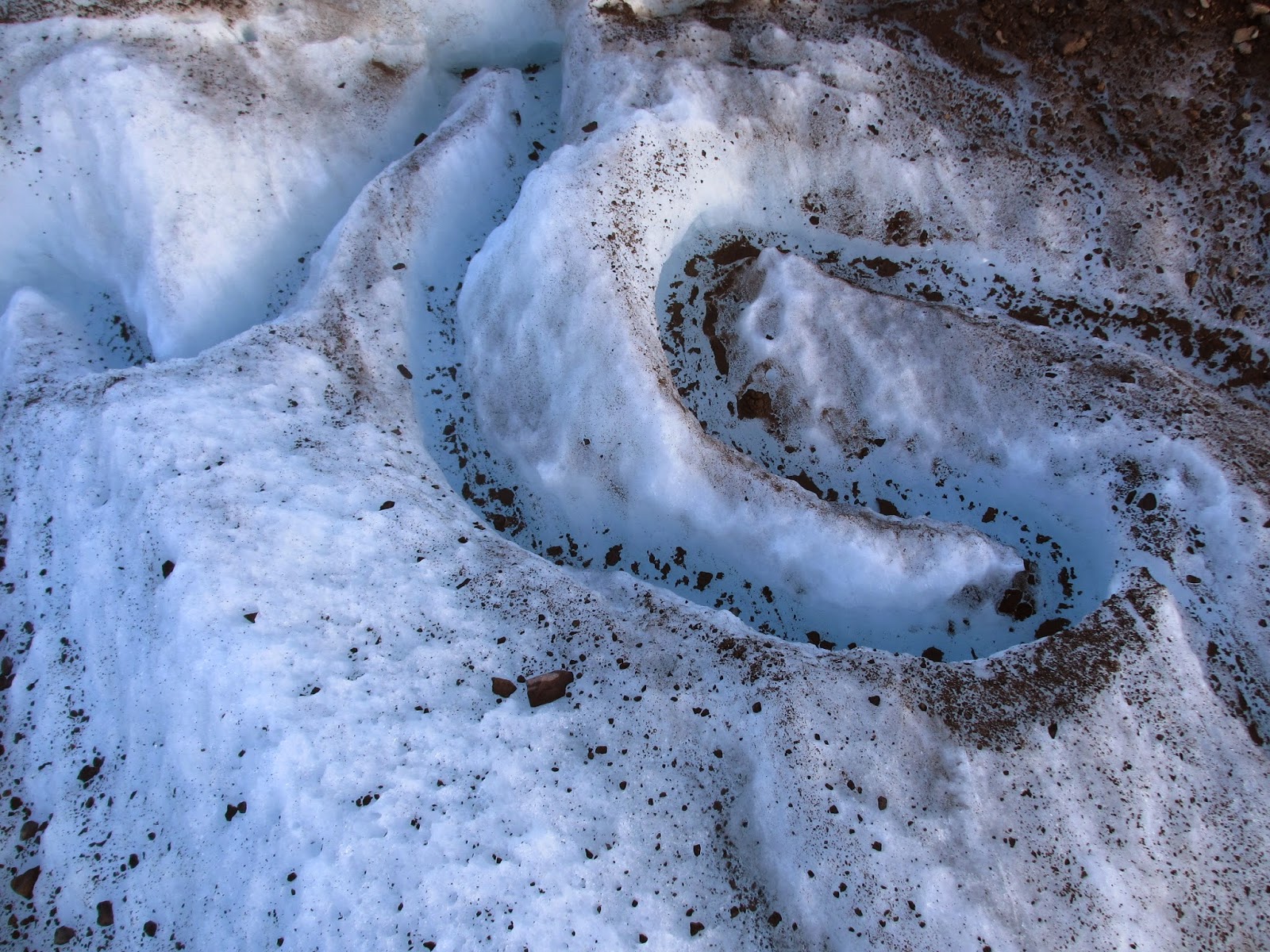
Upon arriving in McCarthy, the weather was perfect. We then took the shuttle another 5 miles to the end of the road in Kennicott, an old mining establishment, and started hiking the Root Glacier Trail around 4pm. We traversed the Root glacier and attempted to find a way up to the lakes at the base of Donoho Peak. We could find no reasonable trail and bushwhacking was not acceptable (yet) so we altered course and went back onto the glacier, south around the point of land and onto the Kennicott. We made our way up and across the glacier, alternating between ice and moraine for travel. We decided to camp on the glacier around 1am, being tired/thirsty/hungry and saving the climb for the next day. Glaciers are so cool and I strongly recommend spending some time on one if you have the opportunity. Then you'll see what I mean: the sounds, colors, weather, rocks, water, ice, formations, etc.
Kennicott mine buildings.
Donoho Peak as seen from the Root Glacier Trail
The Root Glacier
The peninsula at the base of Donoho peak
This boulder was almost the size of a 2-stall garage, I could have moved it if I wanted to.
We woke up and began contemplating the day's route and other trip reports. We thought the glacier had changed and decided to check out the north edge of the Hidden Creek Lake entrance: it's still impassable. We then went north farther still to the washed-out dirt slope up to the vegetation line and ascended at the lowest point. Then we found the trail that took us up and over Hidden Creek Lake's north-east cliff walls, bushwhacked some alders down to the goat trail which took us quite some time to find, but upon finding it the descent was effortless down to the north shore of the lake.
Rocks are hard to sleep on. Thank you to whoever invented to inflatable sleeping pad.
View of Hidden Creek Lake from up on the northern cliff game-trail.
Looking back at the Kennicott Glacier with Donoho peak on the left.

'
Following Hidden Creek up we only needed to cross once in water and the rest we were able to do on snow. Where the last glacial stream enters Hidden Creek from the north we decided to take the northern side of the valley up to the pass: bad idea if you stay low due to heavy sidehilling/bushwhacking. We saw 2 other hikers pass by on the southern slopes, they appeared to traverse quite easily with less bushwhacking. We camped about 1 mile below the pass on some green plushy alpine terrain right by a stream. The previous night's glacier didn't have bugs, but it wasn't nearly as soft either.
Looking up Hidden Creek Valley from the Lake's Western edge.
There was a snowbridge there, but after stepping on it with one foot the whole thing collapsed, causing a micro flood and making me not cross anymore snow bridges.

The next morning we packed up early and passed the 2 hikers who were headed to the Lakina for flight out. There was still plenty of snow that was almost rotten but not quite on the way to the pass. The pass had great views, and the descent from the pass to Lakina is even more amazing. If possible, it's definitely worth trying to spend more time between the pass and the steeper stuff down to the river. The backdrop of huge/rugged/snowcapped peaks dropping thousands of vertical down to the valley floor provides a scale that is mindblowing. The valley from the pass is littered with lakes, streams, waterfalls, greenery, wildflowers, snow: everything you would put in a painting or poster in your dream backcountry landscape. We found the goat trail exiting valley-descender's left just beyond the last lake which lead us easily down to the river, picking up a scree gully the last bit.
Looking back down the Hidden Creek valley.
The pass within site.
View of the first lake from the pass.

Looking back up toward the lowest lake, we descended looker's right where we picked up the most-helpful game-trail.
The Lakina glacier below.

The rafting was more than we bargained for. The Kennicott river levels were just a bit lower than previous trip reports (low 20.x) when we left, but the warm sunny weather had caused them to increase due to glacier melting (21+). We briefly attempted the warm-up and upper class III-ish stuff before deciding to err on the side of safety, walking down-river a way to where it tamed up a bit. The floating from there to through the braided section allowed us to take in the scenery more and generally there was enough water if we picked the right braid to avoid butt scraping. When the braided section was over and the river converged into one it became more challenging. We could hear the rocks rolling down the bottom, the river was pretty fast, and rowdy was a good word to describe it, but not one I wanted to associate with being that far in the backcountry. I feel that most of this was class II+ to III given the water levels, river speed, size of holes/waves. We both ended up swimming at least once, twice for me and the second time I lost my boat but it was recovered with only a ripped spray skirt. There was one short section of rapid we portaged due to wood, intensity of the river, and the lack of a good route, but the rest was raftable with no strainers/sweepers. I was very thankful when the river mellowed out for the float down to the bridge. We started around 1045am and got to the bridge just before 6pm. The float could have been an hour shorter if you cut out the walking, portaging, swimming and boat loss ordeal.

.png)
We were fortunate enough to hitch a ride back to McCarthy which concluded our trip: dipnetting the Chitina was saved for another day which as it turns out the fishing was slow due to floodwater anyhow. The ride home was pleasant: rubber-necking at the Wrangell-St. Elias NP, white glowing glaciers, rain on the horizon, a water-color sunset, and no bugs.
The video is a short clip from the mellow section below the first section of rowdy rapids.


.png)


No comments:
Post a Comment